

| Paviland from the West |
|
I took this from the southern tip of 'The Knave'
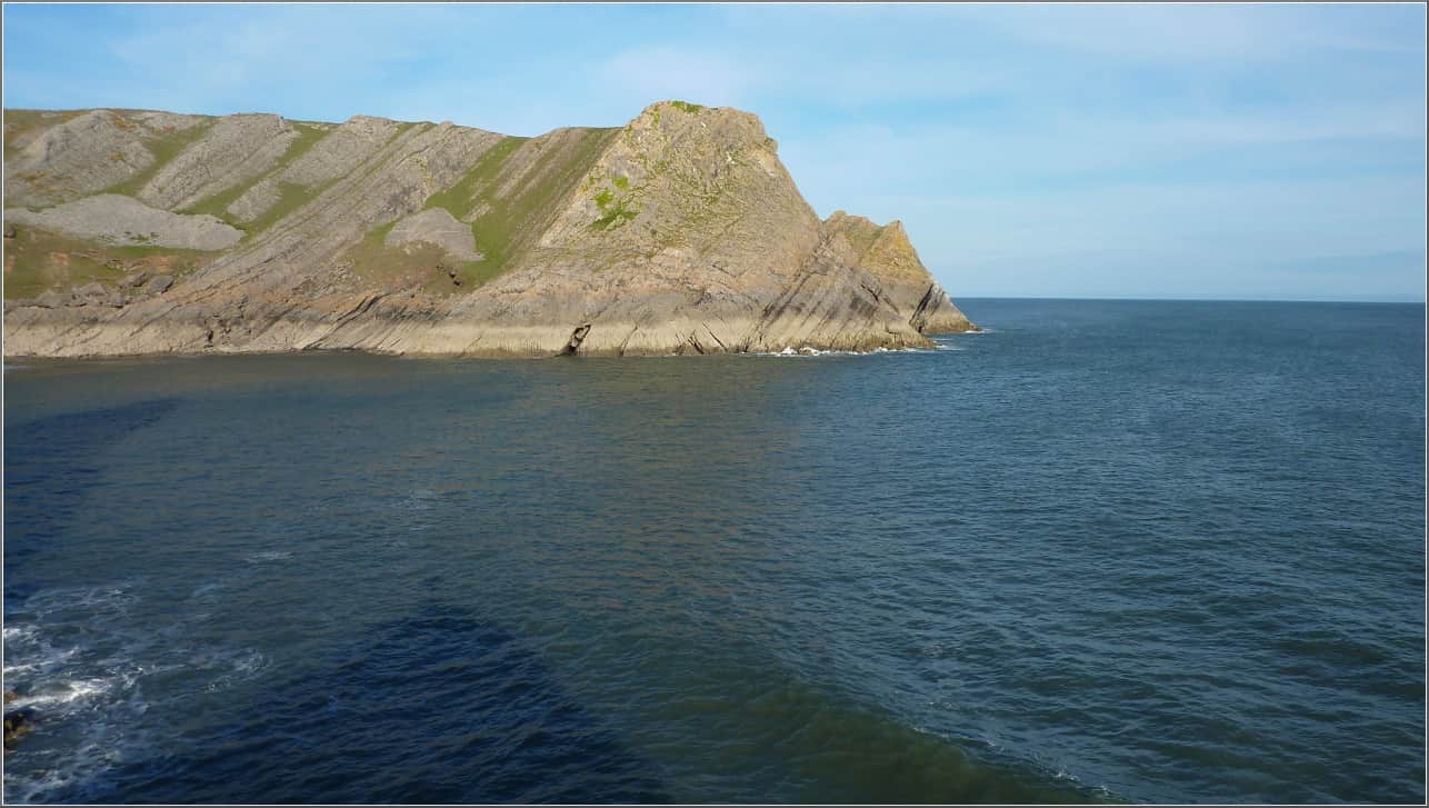
You can just see the 'Col'. Stallion Cove is just between the two headlands.
I use Viking along with GpsBabel and GpsCorrelate to record various crag locations and access paths and also to geotag any photos I take.
I'll put up some Viking files in the next week or two just so you can see how I use it.
| Sun | Mon | Tue | Wed | Thu | Fri | Sat |
| 1 | 2 | 3 | 4 | |||
| 5 | 6 | 7 | 8 | 9 | 10 | 11 |
| 12 | 13 | 14 | 15 | 16 | 17 | 18 |
| 19 | 20 | 21 | 22 | 23 | 24 | 25 |
| 26 | 27 | 28 | 29 | 30 | 31 | |
| Apr Jun | ||||||
