I took this from the southern tip of 'The Knave'
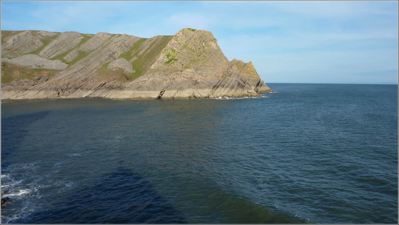 You can just see the 'Col'. Stallion Cove is just between the two headlands.
I use Viking
along with GpsBabel and
GpsCorrelate
to record various crag locations and access paths and also to geotag any
photos I take.
I'll put up
some Viking
files in the next week or two just so you can see how I use it.
You can just see the 'Col'. Stallion Cove is just between the two headlands.
I use Viking
along with GpsBabel and
GpsCorrelate
to record various crag locations and access paths and also to geotag any
photos I take.
I'll put up
some Viking
files in the next week or two just so you can see how I use it.