

| Gower SSSIs |
|
SSSIs overlaying an OpenStreetMap of West Gower.
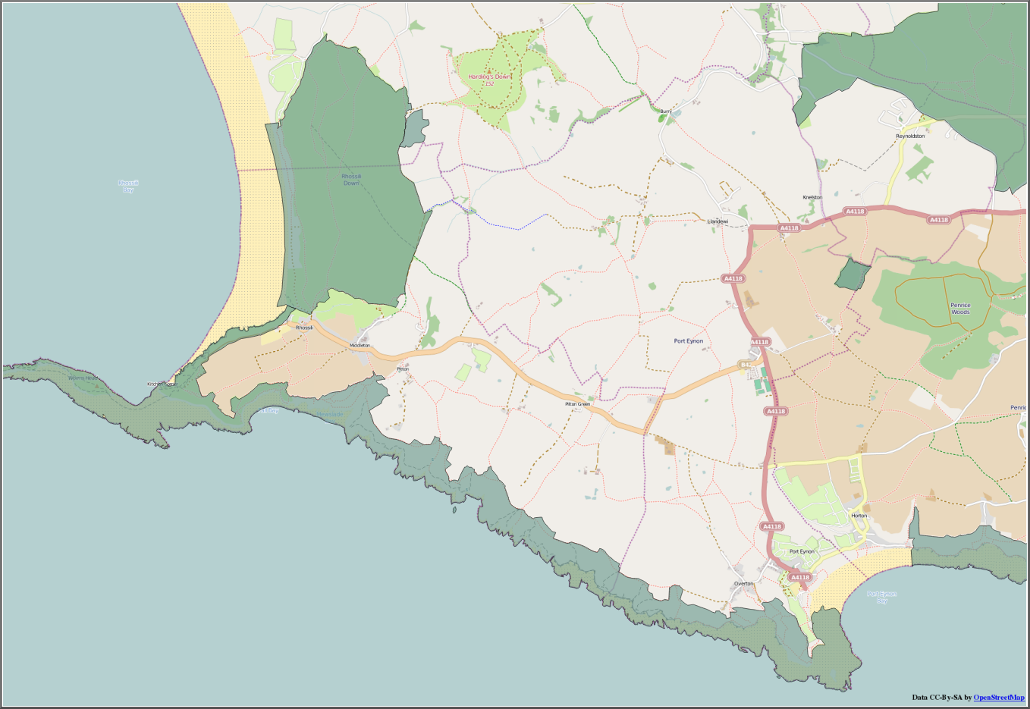
About 90% of Gower crags are in SSSIs.
| Sun | Mon | Tue | Wed | Thu | Fri | Sat |
| 1 | 2 | 3 | ||||
| 4 | 5 | 6 | 7 | 8 | 9 | 10 |
| 11 | 12 | 13 | 14 | 15 | 16 | 17 |
| 18 | 19 | 20 | 21 | 22 | 23 | 24 |
| 25 | 26 | 27 | 28 | 29 | 30 | 31 |
| Jul Sep | ||||||
|
|
SSSIs overlaying an OpenStreetMap of West Gower.
About 90% of Gower crags are in SSSIs.
|
| |||||||||||||||||||||||||||||||||||||||||||||||||||||||||||||
 Copyright © 2022 by Tim Hoddy
<tim.hoddy@gmail.com>
Copyright © 2022 by Tim Hoddy
<tim.hoddy@gmail.com>
| source |