You can download viking
from here.
This file ( 130223.vik ) is a GPS track log
of our walk off the top of the Cyfrwy Arete. You can look at it by
opening it from within Viking.
I'd given the GPS to Jayne so that she could get us back to the cars
via the waymarks I had put into the gps a few days before.
Anyway, she forgot to turn off the gps once she got to the car and so
half of the car journey to the pub at Corris is recorded as well.
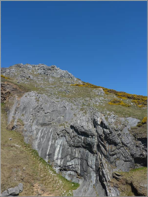
 Anyone want to help with drawing the 'lines' on this?
 Anyone want to help with drawing the 'lines' on this?
 Anyone want to help with drawing the 'lines' on this?